

View Information About HSR Ratings
Bates and Rogers of Chicago was the substructure contractor for this bridge.

This bridge is a late example of a riveted cantilever through truss. Typical of such bridges from the 1960s, the bridge has riveted built-up beams but these lack v-lacing and lattice. The cantilever truss spans consists of 216 foot anchor spans and a main span of 378 feet which includes a 216 foot suspended span. Two steel stringer approach spans are present at each end of the bridge. The bridge retains original pipe railings.
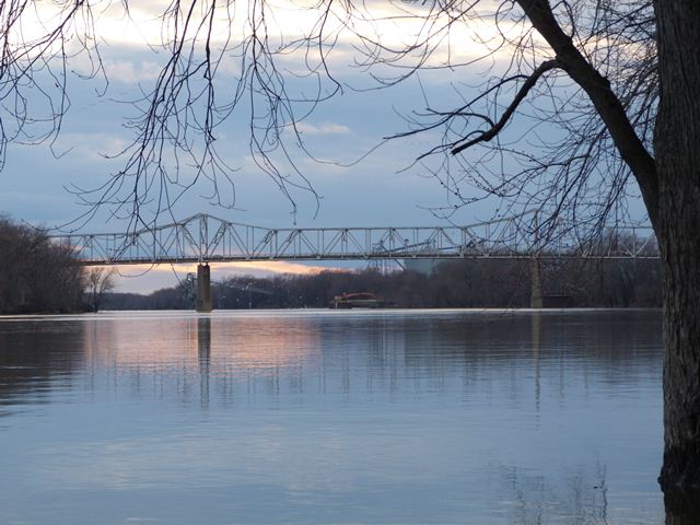
HistoricBridges.org has not yet fully photo-documented this bridge. There are currently only a few overview photos available for this bridge.


Above: These historical photos show the previous bridge, which was next to the location of the current bridge. These photos were taken around the time the current bridge was completed.


Above: These historical photos show the previous bridge with the current bridge shown completed (or nearly completed) nearby. These photos were taken around the time the current bridge was completed.
![]()
![]()
![]()
This historic bridge has been demolished. This map is shown for reference purposes only.
Coordinates (Latitude, Longitude):
Search For Additional Bridge Listings:
Bridgehunter.com: View listed bridges within 0.5 miles (0.8 kilometers) of this bridge.
Bridgehunter.com: View listed bridges within 10 miles (16 kilometers) of this bridge.
Additional Maps:
Google Streetview (If Available)
GeoHack (Additional Links and Coordinates)
Apple Maps (Via DuckDuckGo Search)
Apple Maps (Apple devices only)
Android: Open Location In Your Map or GPS App
Flickr Gallery (Find Nearby Photos)
Wikimedia Commons (Find Nearby Photos)
Directions Via Sygic For Android
Directions Via Sygic For iOS and Android Dolphin Browser
USGS National Map (United States Only)
Historical USGS Topo Maps (United States Only)
Historic Aerials (United States Only)
CalTopo Maps (United States Only)

© Copyright 2003-2024, HistoricBridges.org. All Rights Reserved. Disclaimer: HistoricBridges.org is a volunteer group of private citizens. HistoricBridges.org is NOT a government agency, does not represent or work with any governmental agencies, nor is it in any way associated with any government agency or any non-profit organization. While we strive for accuracy in our factual content, HistoricBridges.org offers no guarantee of accuracy. Information is provided "as is" without warranty of any kind, either expressed or implied. Information could include technical inaccuracies or errors of omission. Opinions and commentary are the opinions of the respective HistoricBridges.org member who made them and do not necessarily represent the views of anyone else, including any outside photographers whose images may appear on the page in which the commentary appears. HistoricBridges.org does not bear any responsibility for any consequences resulting from the use of this or any other HistoricBridges.org information. Owners and users of bridges have the responsibility of correctly following all applicable laws, rules, and regulations, regardless of any HistoricBridges.org information.
![]()