
Google Map: (More Links and Maps Below)
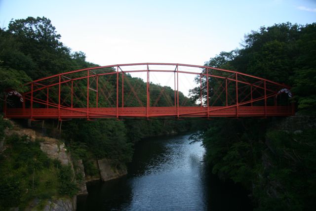
Location: Pumpkin Hill Road / Grove Street (Old Alignment) Over Housatonic River In Rural: Litchfield County, Connecticut, United States
Latitude: 41.544400 Longitude: -73.407120 ( 41.544400,-73.407120 )
View Bridge Location In:
Bridgehunter.com: View listed bridges within a half mile of this bridge.
Bridgehunter.com: View listed bridges within 10 miles of this bridge.
Android: Open Location In Your Map or GPS App
![]()
| Back |
| Home |
| Top |

![]()