HistoricBridges.org Menu: HistoricBridges.org Menu:


HistoricBridges.org: Bridge Browser

Map: Emergency Swing Dam

Google Map: (More Links and Maps Below)

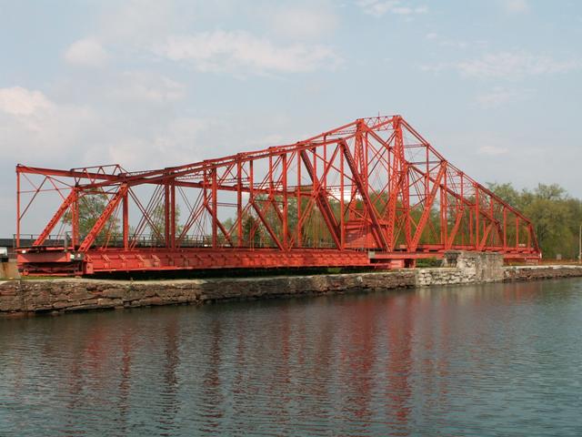
Location: Maintenance Walkway Over Sault Canal (St. Marys River) In Sault Ste. Marie: Algoma District, Ontario, Canada
Latitude: 46.513310 Longitude: -84.357970 ( 46.513310,-84.357970 )

View Bridge Location In:


Android: Open Location In Your Map or GPS App

Google Maps

Google Streetview (If Available)

Bing Maps

ACME Mapper

OpenStreetMap

Google Earth (KML File)

Flickr Gallery (Find Nearby Photos)

Directions Via Sygic For Android

Directions Via Sygic For iOS and Android Dolphin Browser

MapQuest

HERE We Go Maps

ACME Mapper

Historical USGS Topo Maps (United States Only)

CalTopo Maps (United States Only)

Ordnance Survey Maps (UK Only)

GeoHack Map Links (Enter 46.513310 For Latitude and -84.357970 For Longitude)

Emergency Swing Dam

Divider

Back
Home
Top

Divider

About - Contact

Divider