

View Information About HSR Ratings
This is a very unique bridge. It is a double-deck bridge, with the top level carrying a highway and the lower level carrying a railroad line. Double-deck bridges are rare, nationwide. The main span of the bridge is a vertical lift bridge of unusual appearance. The unusual appearance is because bridges from this period usually had lift towers that were trussed, and often were broader at the base. However, this bridge has towers that on the sides are metal plate giving them a solid appearance. The towers also maintain the same width from top to bottom. The bridge has an extremely long and complex approach system consisting of deck truss and deck plate girder spans. The deck plate girder spans appear to have structurally separate load-bearing superstructures, one for the highway level and one for the railroad level. In contrast, the truss spans have one unified superstructure... each truss web supports both the upper and lower level. The railroad deck of the bridge ends sooner than the highway bridge at each end because the highway, being on the upper deck, must continue to pass over the railroad tracks until they curve away, and also the highway, being on the upper deck, has to have enough additional approach spans to bring the road back to ground level. Finally, perhaps the rarest and most unusual detail of the bridge is that one of the deck plate girder spans for the railroad is an example of one of the rarest general movable bridge categories: a retractile span. The deck plate girder span lifts up and slides back on top of an adjacent truss span. This span is kept retracted unless a train is coming. The retractile span itself is unusual and significant in its own right. It is also unusual for a single bridge structure to have two movable spans. Normally only one movable span is provided, usually in the center of the bridge where the main navigation channel is.
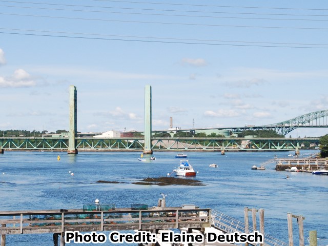
Information and Findings From Maine's Historic Bridge InventoryDiscussion of Bridge The 1940 vertical lift bridge designed by Harrington & Cortelyou (Harrington was formerly associated with J.A.L. Waddell and is credited as being the mechanical engineer responsible for the development of the vertical lift bridge type) of Kansas City. Its design reflects mid-20th century refinements in the vertical lift bridge type, most notably the arrangement of the operating system with the drive motors and synchronous motors located at the top of the towers. It is the only vertical lift bridge in Maine with this operating arrangement. The bridge also has handsome, Art Moderne detailing. It was named in 1980 for Sarah Mildred Long, the longtime interstate bridge commission's secretary. The 1940 vertical lift bridge is judged to have high preservation priority because of the technological significance of the arrangement of the operating machinery. Bridge Considered Historic By Survey: Yes |
![]()
![]()
![]()
This historic bridge has been demolished. This map is shown for reference purposes only.
Coordinates (Latitude, Longitude):
Search For Additional Bridge Listings:
Bridgehunter.com: View listed bridges within 0.5 miles (0.8 kilometers) of this bridge.
Bridgehunter.com: View listed bridges within 10 miles (16 kilometers) of this bridge.
Additional Maps:
Google Streetview (If Available)
GeoHack (Additional Links and Coordinates)
Apple Maps (Via DuckDuckGo Search)
Apple Maps (Apple devices only)
Android: Open Location In Your Map or GPS App
Flickr Gallery (Find Nearby Photos)
Wikimedia Commons (Find Nearby Photos)
Directions Via Sygic For Android
Directions Via Sygic For iOS and Android Dolphin Browser
USGS National Map (United States Only)
Historical USGS Topo Maps (United States Only)
Historic Aerials (United States Only)
CalTopo Maps (United States Only)

© Copyright 2003-2024, HistoricBridges.org. All Rights Reserved. Disclaimer: HistoricBridges.org is a volunteer group of private citizens. HistoricBridges.org is NOT a government agency, does not represent or work with any governmental agencies, nor is it in any way associated with any government agency or any non-profit organization. While we strive for accuracy in our factual content, HistoricBridges.org offers no guarantee of accuracy. Information is provided "as is" without warranty of any kind, either expressed or implied. Information could include technical inaccuracies or errors of omission. Opinions and commentary are the opinions of the respective HistoricBridges.org member who made them and do not necessarily represent the views of anyone else, including any outside photographers whose images may appear on the page in which the commentary appears. HistoricBridges.org does not bear any responsibility for any consequences resulting from the use of this or any other HistoricBridges.org information. Owners and users of bridges have the responsibility of correctly following all applicable laws, rules, and regulations, regardless of any HistoricBridges.org information.
![]()